Unuvun: Difference between revisions
Unuvun Rain (talk | contribs) No edit summary |
Unuvun Rain (talk | contribs) No edit summary |
||
| Line 1: | Line 1: | ||
{{Place | {{Place | ||
| name = Unuvun | | name = Unuvun | ||
| | | img2 = [[File:Unuvun basic.png]] | ||
| location = [[Htaevic Rouge]] | | location = [[Htaevic Rouge]] | ||
| part of = [[Unuvi Archipelago]] | | part of = [[Unuvi Archipelago]] | ||
Revision as of 21:52, 16 September 2017
Unuvun
Geography
Location
Part of
Adjacent bodies of water
Area
129,000 sq. km
Width
15-200 km (80km avg.)
Highest elevation
3302 m
Highest point
Administration
Country
Demographics
Largest City
Yuuvei (pop. 73,000,000)
Population
114,000,000
Ethnic groups
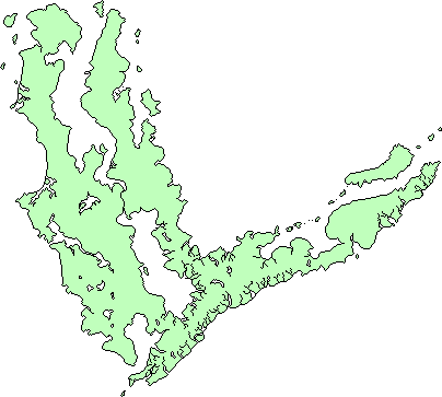
The island of Unuvun is the principal island in the Unuvi Archipelago. Located on the southern rim of Delezia-Hazele, its climate is dominated by the global circumpolar current, which bring torrential amounts of rain to the western plains of the island. It is one of the cultural hearths of Pavala as it was here that the Aeridanish developed.
